
Equipment
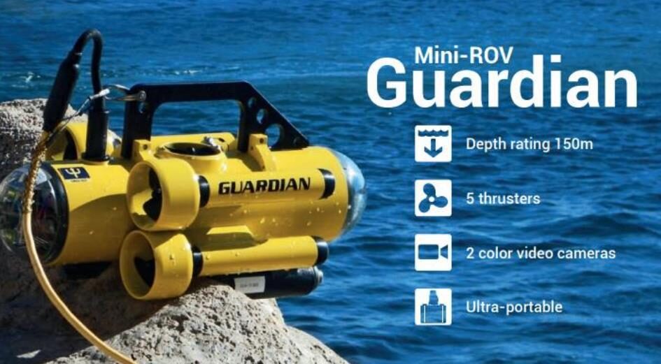
Remote-Controlled Underwater Vehicle System Guardian MINI-ROV
Remote-Controlled Underwater Vehicle System Guardian MINI-ROV
- Visual inspection of marine infrastructure and ships (hull)
- 4 hours autonomy and 150 m diving depth
- Underwater inspection
- Collection of samples
- Shipwreck inspection
- Cutting of objects (cables, ropes)
- Measuring distances
- Detection of sound events (e.g. propeller)
- Identification of objects in the water (explosives, drugs), hidden in wrecks, etc.
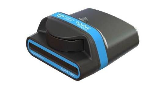
Multibeam sonar Oculus M3000d
Multibeam sonar Oculus M3000d
- High-resolution, dual-frequency imaging sonar that offers high-quality images for specialized inspection tasks
- Operating frequencies: 1.2MHz / 3MHzRange: 0.1m to 30m / 5mCan be mounted on ROV & WAM Applications include:
- Sea floor imaging
- Object identification in water
- Imaging/navigation in low visibility conditions
- Marine mapping and bathymetry
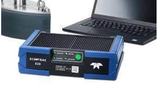
Depth Measurement System ECHOTRAC E20
Depth Measurement System ECHOTRAC E20
- Single beam sonar dredging system
- Includes: hydrographic sonar, waterproof field laptop, and software
- Can be used for morphological mapping of the seabed and recording of features of the seabed
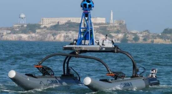
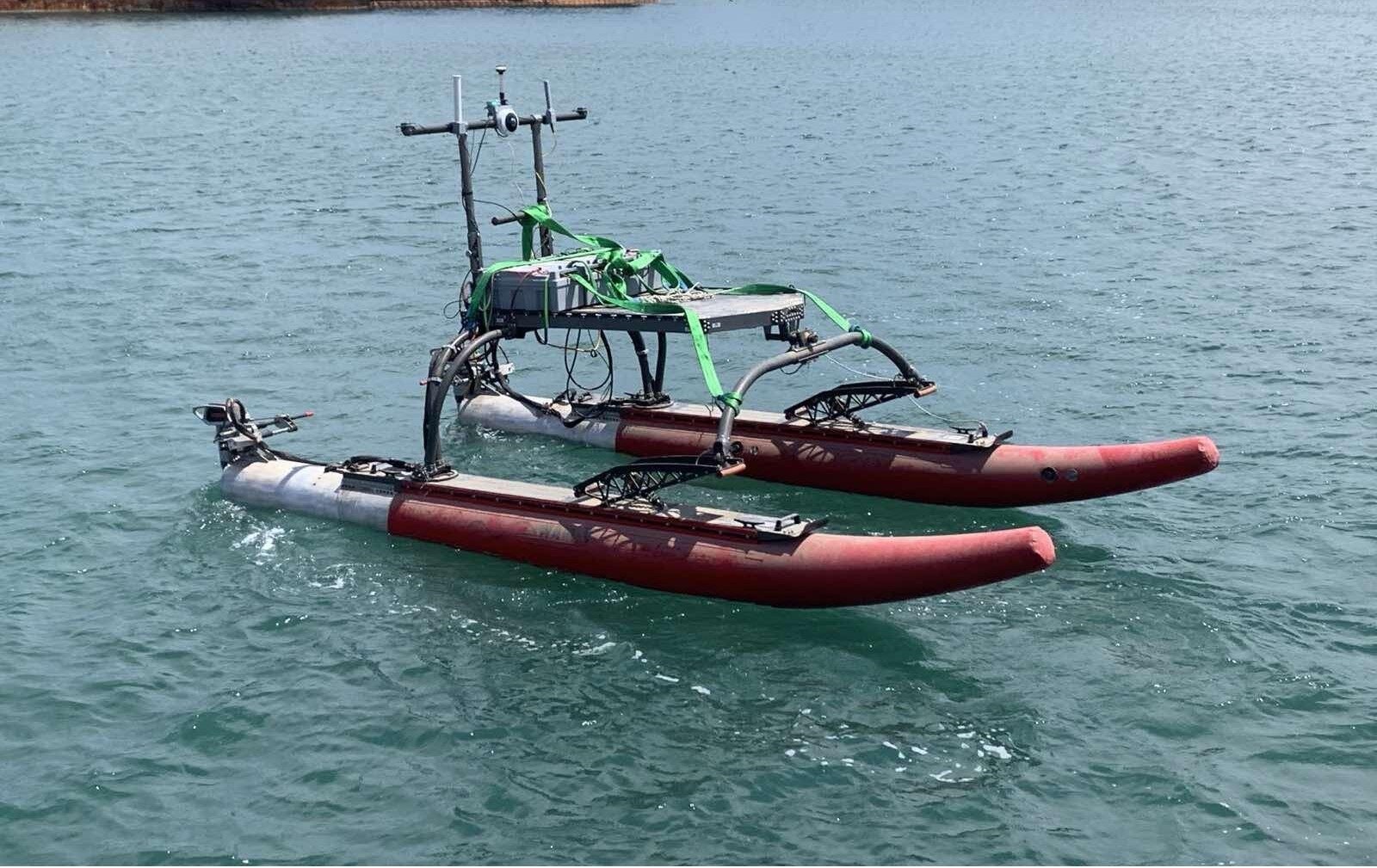
Marine Vessel MAR-WAM-V-16-ASV
Marine Vessel MAR-WAM-V-16-ASV
- Ideal for marine data collection
- Small footprint, light vessel weight, shallow draught
- Deployed by two persons
- 180˚ FOC camera, GPS path navigation, encrypted wireless network
- Remotely Operated Command Station (ROCS)
- Integrated Onboard Control System (ROBO-HELM) and Control and Communication Software (MARCODE)
- Up to 15 hours of operation (at 5 knots)
- Can carry a multibeam sonar system
- Can be used for:
- Marine surveys
- Marine safety
- Search and rescue
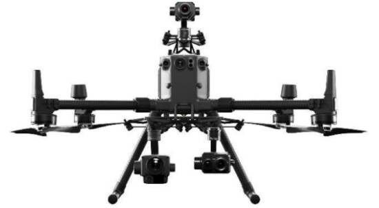
Drone System Matrice RTK300
Drone System Matrice RTK300
- Application in firefighting, search and rescue, legislative control, survey of power systems and gas and oil pipelines
- Flight autonomy of up to 55 minutes
- 3 cameras simultaneously
- AI technologies
- Waterproof, can operate from -20°C to 50 ° C
- 1080p video transmission up to 15km
- Can be operated by two operators simultaneously
- Maximum speed of 23 meters/second
- Increased accuracy due to RTK (real time kinematic processing): advanced GPS technology
- DJI Zenmuse H20T camera 20 MP zoom camera, 20X optical zoom
- Thermal camera
- Distance finding laser (up to 1200m)
- Night scene mode
- Long-range aerial surveillance (20x optical zoom)
- Search for boats/people/objects in water
- Precise location of shipwrecks
- Monitoring and tracking of moving objects (people, vehicles, boats)
- Thermal camera: Industrial inspections: Detection of thermal anomalies in machinery and equipment
- Search and rescue: Detection of individuals in low-visibility conditions
- Distance measurement from an object
- 3D mapping of large areas (e.g., port)
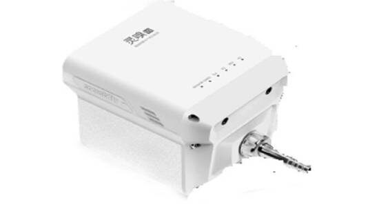
Air quality sensor for monitoring environmental parameters: Sniffer4D V2
Air quality sensor for monitoring environmental parameters: Sniffer4D V2
- Incorporates individual sensors for measuring various pollutants, such as PM2.5, PM10, O3+NO2, NO2, CO, SO2, TVOC, Odor (OU)
- Provides accurate measurements using advanced sensor technology and a specialized processing algorithm
- Offers flexibility in use as it can be used with the DJI Matrice 300 drone, as well as a portable device
- Applicable in air quality research, urban planning, and environmental monitoring
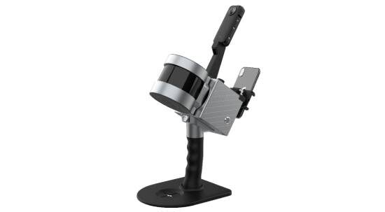
Portable Scanner TRION S1 Pro Laser Scanner
Portable Scanner TRION S1 Pro Laser Scanner
- This portable scanner offers advanced capabilities for 3D digital imaging of spaces and objects
- It features SLAM technology, which allows for simultaneous localization and mapping of the environment
- With the 360° panoramic camera, it provides a high-quality and precise color point cloud
- Each of its two batteries offers 2 hours of operational autonomy
- The GNSS receiver it includes enhances position accuracy in space
- Applications include:
- Detailed imaging and modeling of buildings and facilities.
- Data collection in hard-to-access environments.
- Area recognition and mapping in emergency situations.
Data processing and analysis software: LiDAR360 MLS Professional
Data processing and analysis software: LiDAR360 MLS Professional
- Advanced software for processing and analyzing LiDAR data, offering a range of tools for professionals and researchers
- It integrates automated workflows for LiDAR data processing
- Allows understanding and mapping of various types of land cover
- Supports the creation of 3D models of the environment for detailed visualization and analysis
- Compatible with data from various LiDAR sources, enabling flexible integration
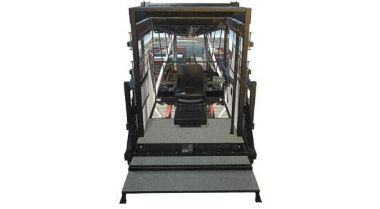
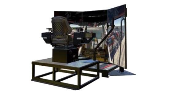
Full Mission Simulator
Full Mission Simulator
- Seven (7) 65-inch 4K displays
- Operator chair
- Authentic controls
- Alarm/indicator
- Size and layout of a real-life operator’s cab
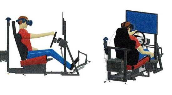
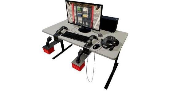
Ro-Ro Standalone Simulator
Ro-Ro Standalone Simulator
- How to properly drive vehicles in a typical RoRo environment
- Virtual Reality (VR) alongside with flat-screen display
- Steering wheels, control, and a gear shift
- Over 55 lessons are delivered with the system
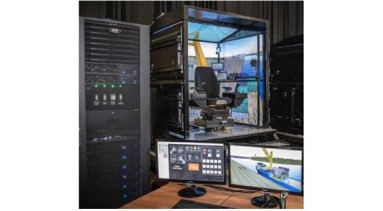
Instructors Station
Instructors Station
- Create scenarios, change settings, access the student database, control the training environment
- Set up on a desk next to the simulator or in an adjacent room
- Includes a desk, a printer, and three (3) 24-inch flat-screen displays
- Hub to monitor the actions of a student on the simulator
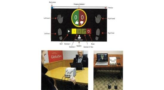
Hand-Eye-Foot Coordinator Test System
Hand-Eye-Foot Coordinator Test System
- Tests the coordination skills of prospective trainees
- The student corresponds to the light sequences by pressing foot pedals and hand switches
- Automated scoring
- Delivers objective test results that can be exported for analysis
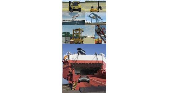
Software Models for Full Mission Simulator
Software Models for Full Mission Simulator
- Ship-to-Shore Crane
- Rail Mounted Gantry (RMG) Intermodal Crane
- Straddle Carrier
- Reach Stacker
- Forklift
- RoRo Operations
- Automated Operations Scenarios
Ship Pedestal Crane Simulator
Ship Pedestal Crane Simulator
- Includes a spreader for containers, a hook for general cargo, and a clamshell for bulk materials
- It features advanced simulation models, specifically a full dynamic crane model, collision model, and visual models for various configurations
- Offers flexible lifting capabilities, specifically a variable lifting capacity of up to 100 tons, a boom length of 33 meters, and a maximum boom angle of 87°
- Includes specific training tools such as a self-adjusting training program, 3D course recording with GlobalSim’s After Action Review, custom courses with GlobalSim’s Scenario Editor, and performance analysis and reporting capabilities
Cloud training simulator for cranes & heavy machinery
Cloud training simulator for cranes & heavy machinery
- This is an entry-level training simulator that includes 8 popular crane models (STS, RTG, Ship Pedestal Crane, Mobile Harbour Crane, Reach Stacker, empty container handler, forklift, and Terminal Tractor) and is developed by certified crane operators and simulation experts.
- These virtual vehicles offer a wide range of courses under various scenarios to study the enhancement of safety in cargo handling operations, with difficulty increasing according to the trainee’s level.
- The proposed software is accompanied by hardware, which includes a Dell XPS 8950 computer, a 32-inch high-definition screen, a gamepad, joysticks, a steering wheel, foot pedals, and a VR headset.